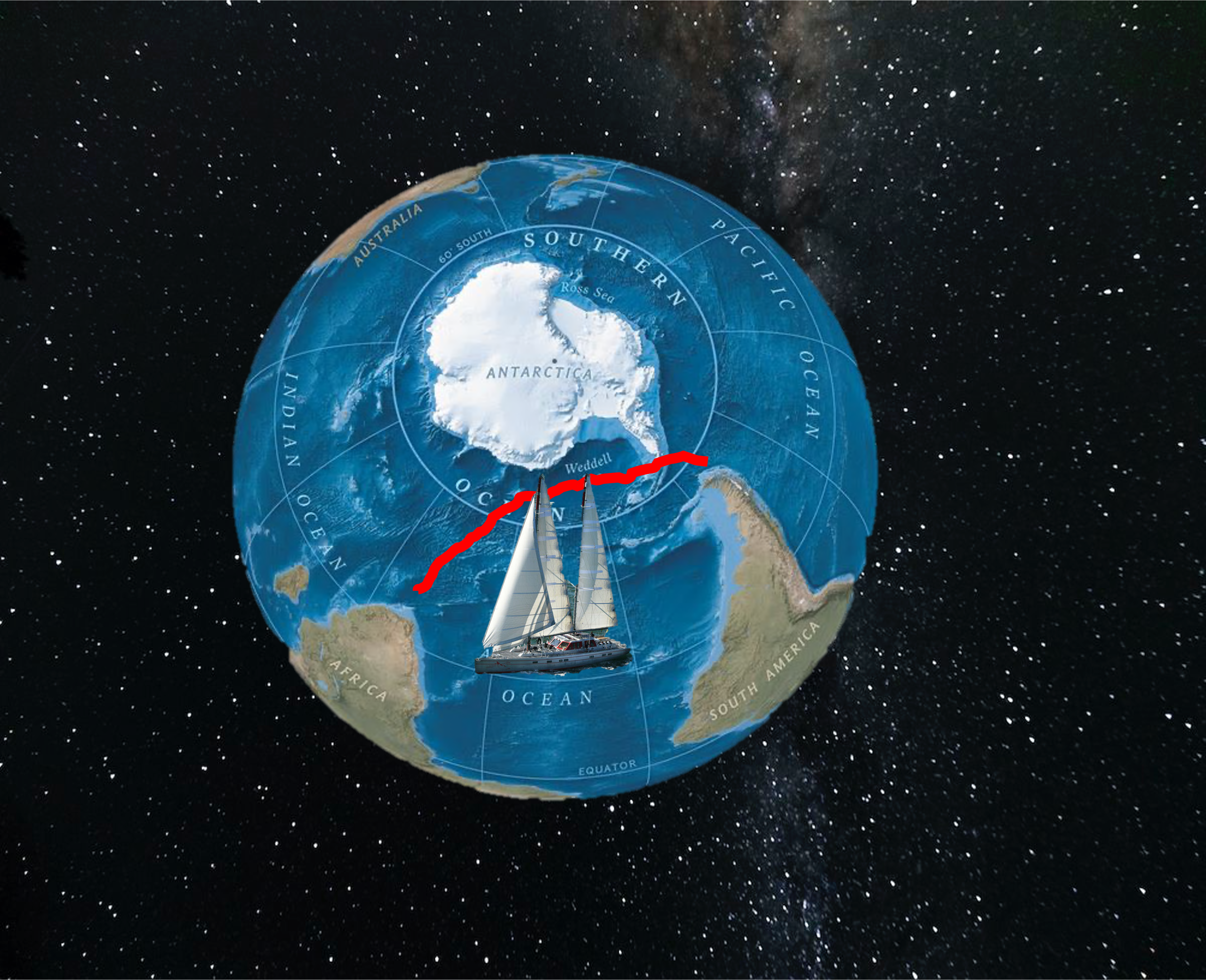
An epic 8,000 km expedition from the Falkland Islands to Cape Town
Navigation is the ultimate union of art and science.
The art of reading the natural world. And the science of knowing precisely where you stand upon it.
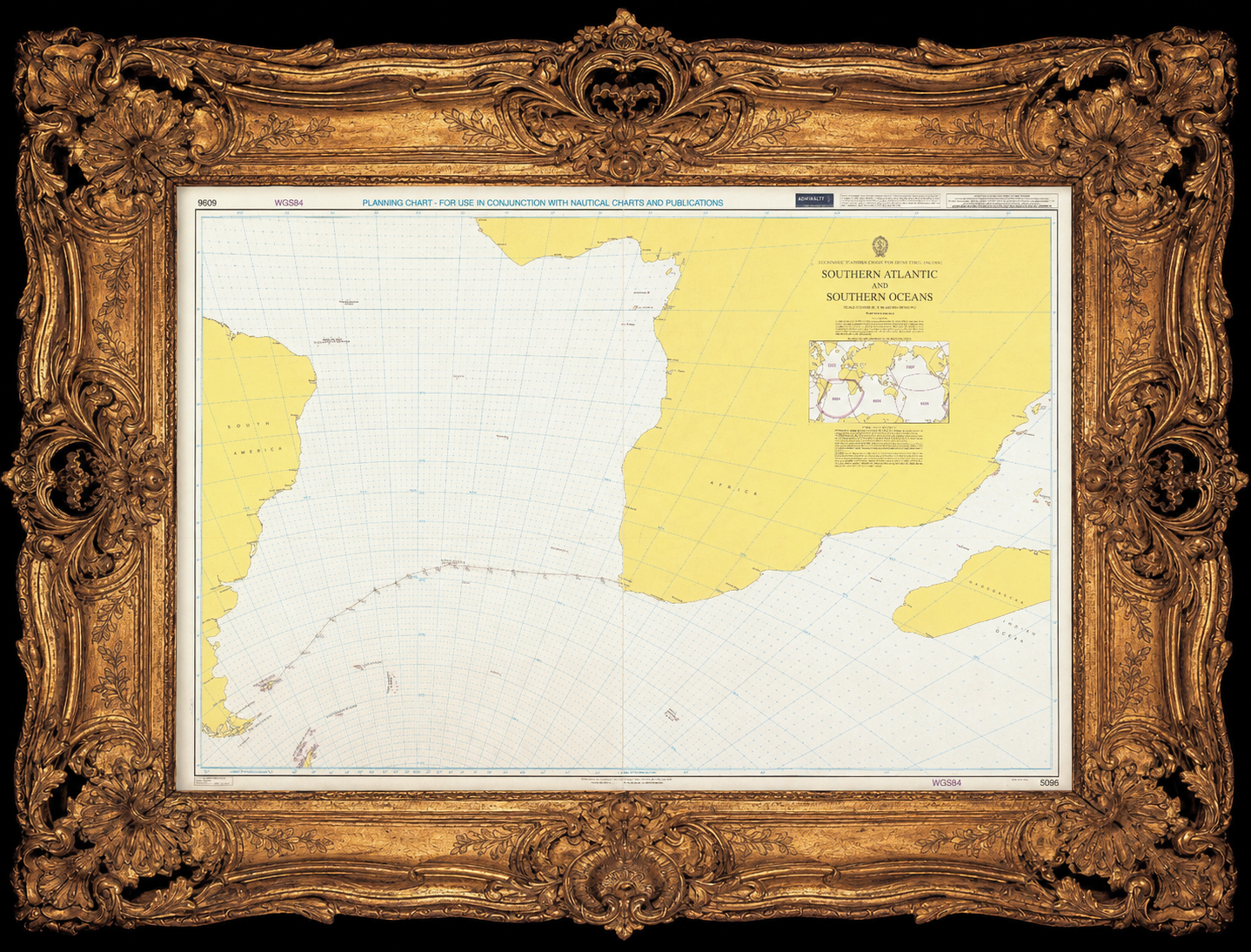
It is a philosophy — a way humanity attempts to orient itself within uncertainty
At the southern edge of South America lies a remote archipelago: the Falkland Islands. From here, we began an expedition aboard the 77-foot sailing vessel Vinson of Antarctica. Our route took us across more than 4,100 nautical miles of one of the most hostile oceans on Earth — through the Roaring Forties and the Furious Fifties, where relentless westerly winds drive enormous swells across an uninterrupted oceanic wilderness.
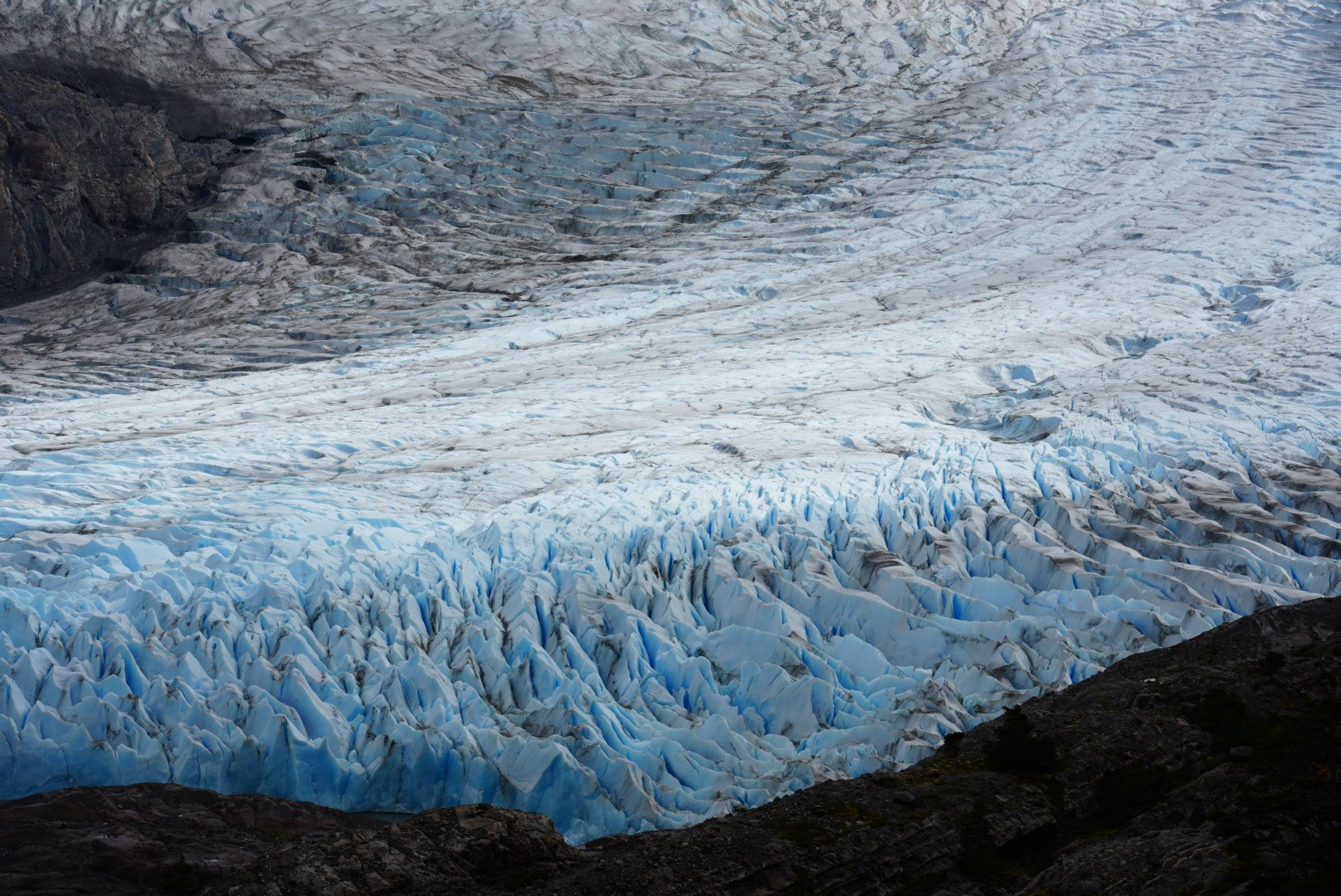
In this world of wind and water, cold and constant motion test not only the structure of the boat, but also the endurance of the human spirit. And above all:
No GPS.
We navigated solely by the Sun, the Moon, the planets, and the stars. We were astro-navigators.
Beyond the syllabus of the RYA Yachtmaster Offshore, one question defines true ocean sailing: Where are you?
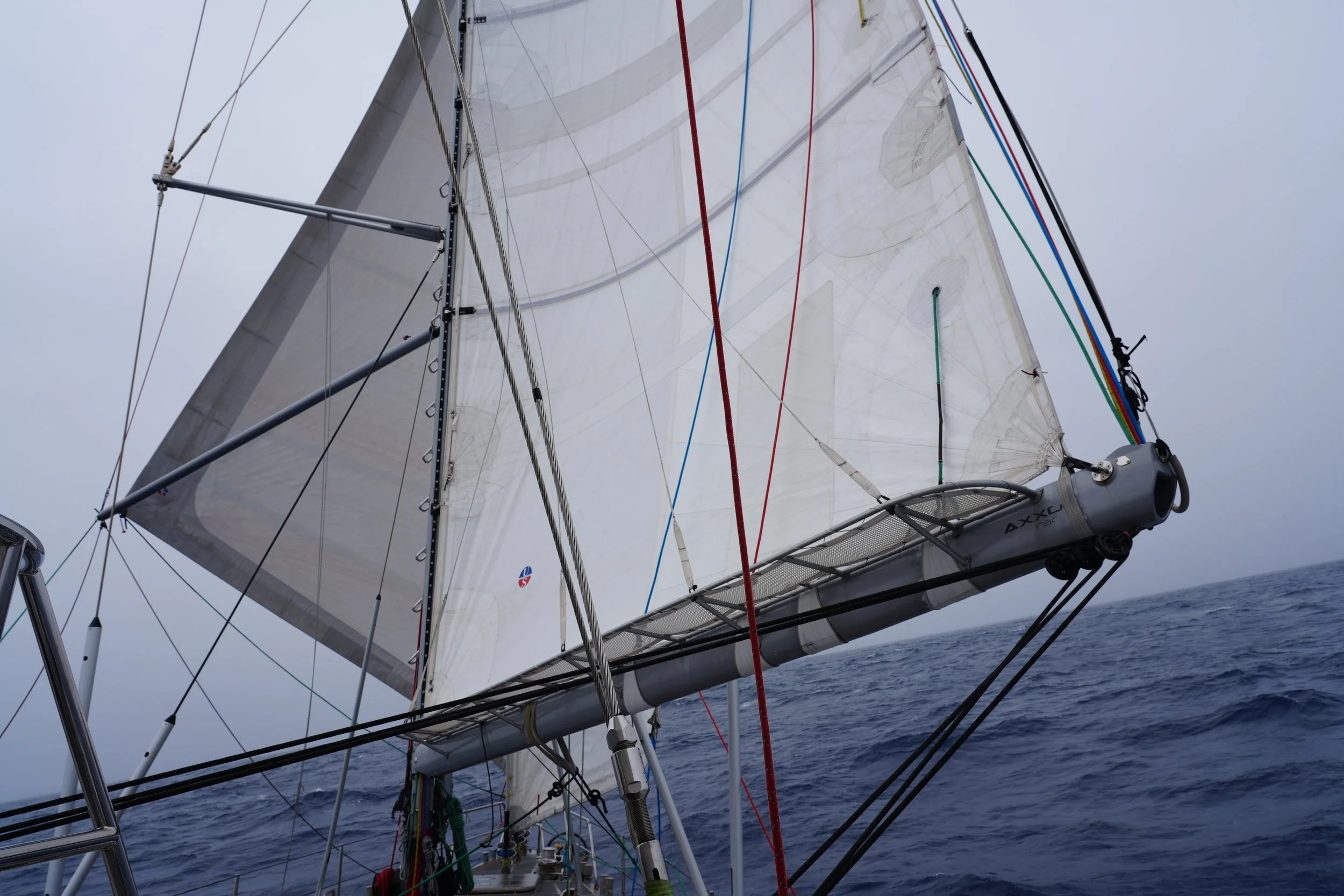
Before departure, my teammates and I prepared for the final stage of the expedition ashore. On one hand, we practiced sextant sights and celestial calculations; on the other, we studied meteorology, ice limits, and Southern Ocean weather systems.
An ice chart from the Argentine Hydrographic Service showed the projected sea-ice distribution for the coming month. This year, the ice extended much farther north than expected, forcing us to reconsider our route from the Falklands toward Tristan da Cunha.
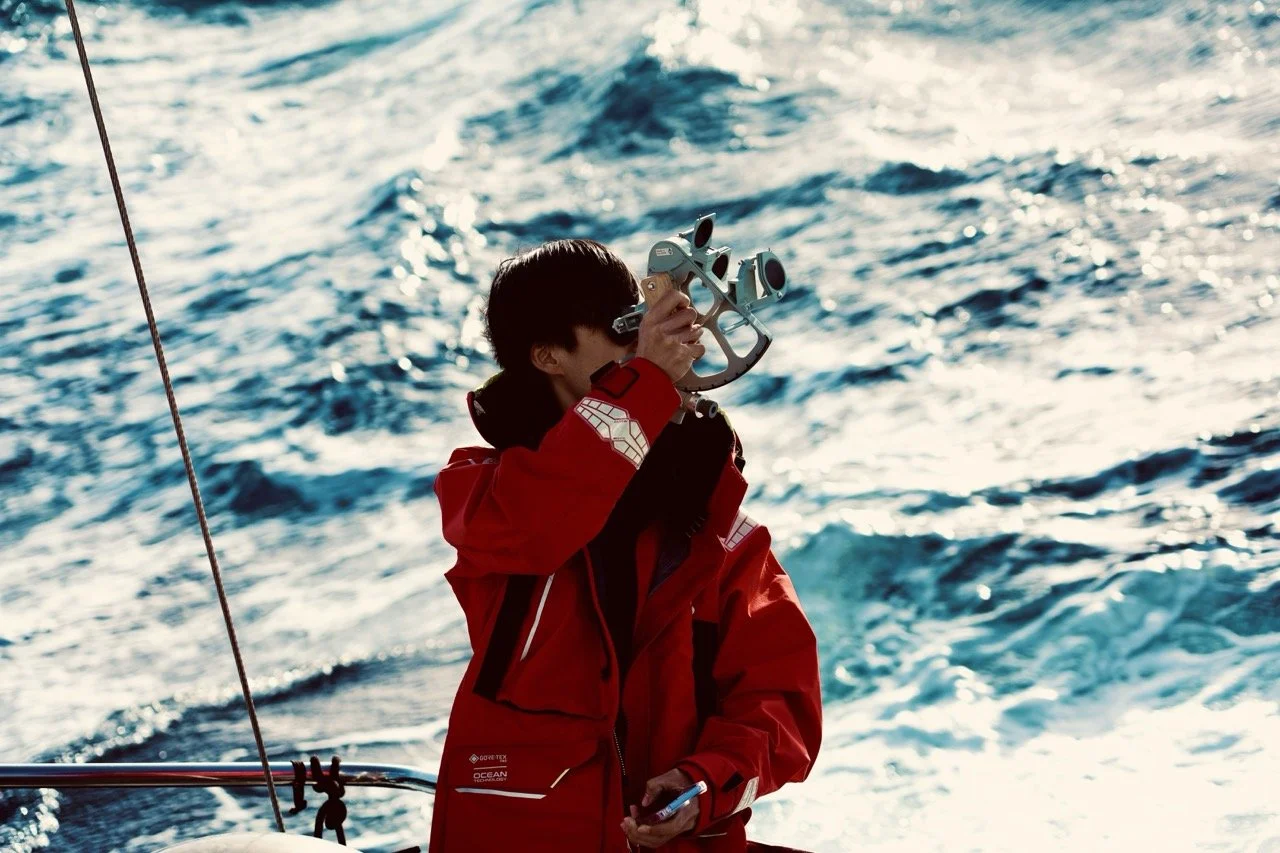
At morning nautical twilight on 9 April 2026, amidst the biting air of the South Atlantic, I balanced my sextant against the roll of the swell to capture the altitudes of Rigil Kent, Spica, Arcturus, and Peacock. One by one, I identified them using the star finder wheel.
Spica Hs = 43°30’ at 04:01:24 UTC
Rigil Kent Hs = 61°26’ at 04:03:37 UTC
Peacock Hs = 46°36’ at 04:10:42 UTC
Arcturus Hs = 25°19’ at 04:15:40 UTC
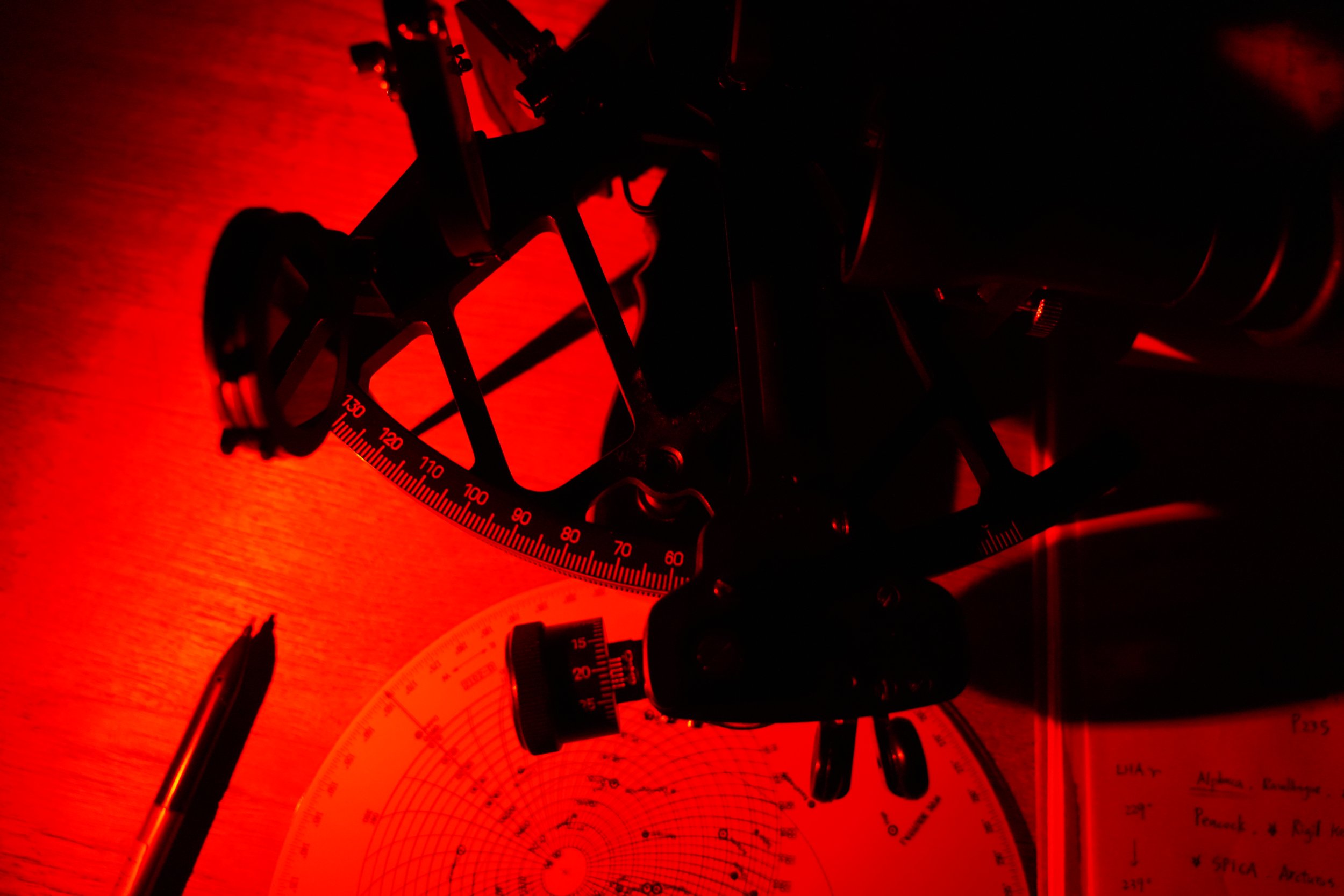
Back at the chart table, under the red cabin light, I plotted the calculated Lines of Position (LOPs) onto the plotting sheet. The intercepts converged into a tiny triangle.
Our celestial fix:
Latitude: 37°04’S
Longitude: 012°50’W
Shortly after, as the dawn light began to bleed across the horizon, a volcanic shadow materialized through my binoculars. We had found the needle in the vast blue haystack: Inaccessible Island of the Tristan da Cunha archipelago.
A sextant, a chronometer, an almanac, and a compass — it is all I need.
Then we set sail.
In the Southern Ocean, celestial navigation becomes extraordinarily difficult. Most days, we were granted only two or three brief moments when the Sun broke through the dense cloud cover. Each window lasted perhaps five minutes. Everyone onboard learned to seize every opportunity.
Near the polar regions, magnetic variation also becomes extreme. Along our route, it shifted from 15° East to 25° West, making dead reckoning and compass corrections critically important.
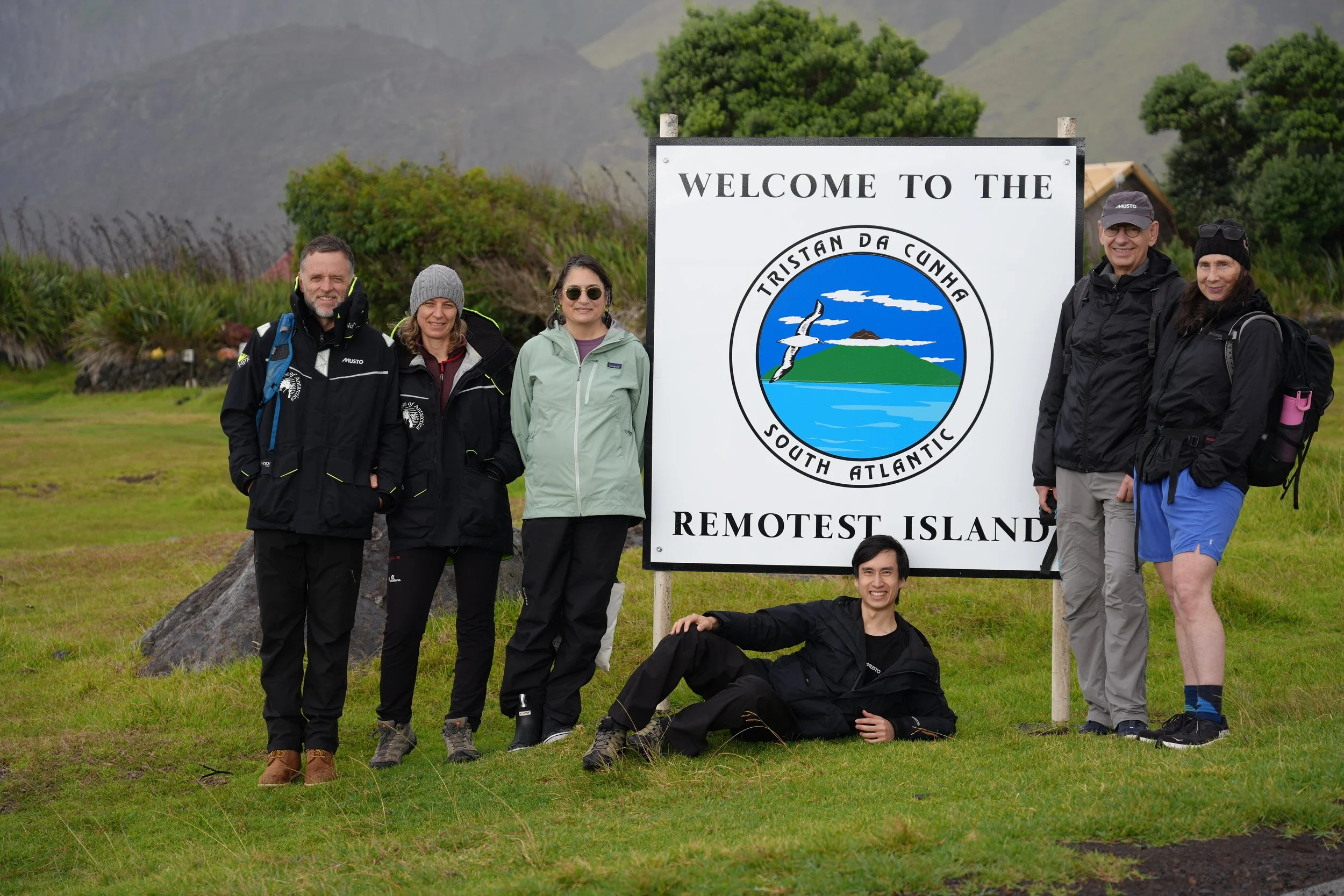
Back on land, my own life continues to dead reckon into the unknown.
There are even more invisible forces affecting our course in this era of uncertainty.
Yet I remember the monument standing on Falkland Island, built by the Scott Polar Research Institute. Upon it are written the words:
“United Through Distance and Time.”
Wherever we are, whenever the sky clears, we can still look upward toward the same eternal Sun and stars.
And perhaps, through them, correct the accumulated errors of the past — and find the courage to continue sailing into the unknown.